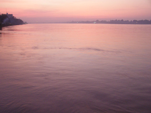
Recently I had the chance to visit Nong Khai, a town in northern Thailand on the border with Laos. Here the Mekong River forms the border between the two countries.
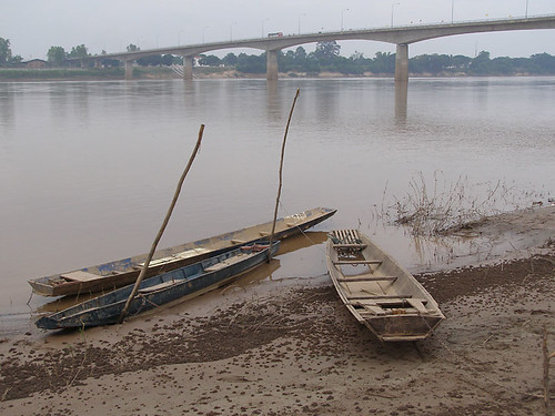
Just outside of town there is a bridge over the river, only the second bridge completed across the Mekong. The Friendship Bridge is a main gateway for travelers picking up visas to head north to Vientiane (only 20km upriver) or other places in Laos, or coming south to catch the train to Bangkok.
I didn't have enough time to continue beyond the border, but spent several days in Nong Khai at a relaxing guesthouse with a beautiful garden on the banks of the river. There was a floating bar/restaurant moored below the guesthouse, and each evening a little dinner cruise left from there. During the day I rented a bicycle and rode upstream and down from the town to explore the countryside.
The Mekong arises far to the north in Tibet and runs down to form the border between Burma and Laos, hemmed in by mountain ridges that are the farthest reaches of the Himalayas. By the time it reaches Nong Khai, it has lost most of its origins as a mountain stream and is instead a tropical river. Its ebb and flood are determined more by the rainy seasons than the spring snowmelt of the far distant mountains. When I visited, in November, the water was beginning its retreat and exposing a few new inches of muddy bank every day.
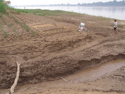
On the outskirts of town, some of the villagers were preparing their riverbank gardens, planting greens and vegetables on the new land fertilized by the receding water. It looked like mostly sand to me, but the river must have left some nutrients for the garden.
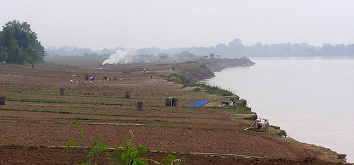
Farther upstream there were more extensive farming operations. In long strips of land oriented toward the water, families were putting in new crops and turning the soil with small rototillers.
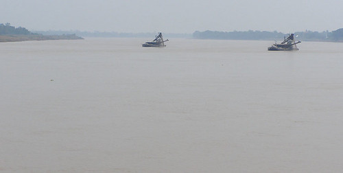
Later I spotted two barges out in the center of the current. They must be dredging the shallow parts of the channel, I first assumed. But through the binoculars I could see that they were dumping much of the dredged material back into the water. No, they were mining a sandbar for gravel, running it through screens to collect just the right sized pebbles for some construction project.
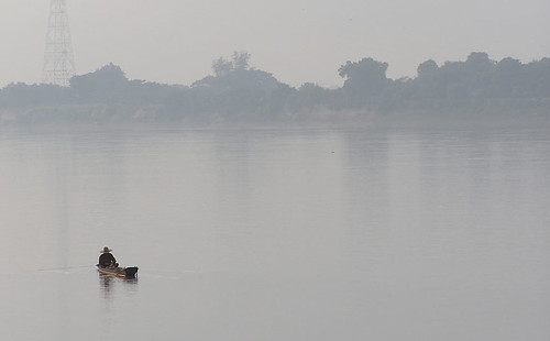
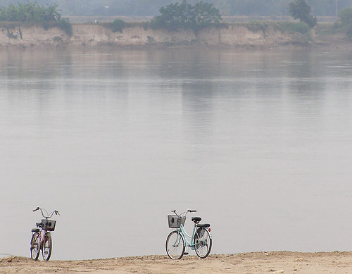
The river is noticeably absent of traffic, a wide swath of water with few boats to disturb the steady current. Despite the Mekong's great size and power it has never been used much as a highway for trade because it is punctuated by rapids and waterfalls at numerous points. This is why it has functioned as a border between countries more than as a center. The stretch from Vientiane to Nong Khai is placid, but beyond here to the north and south there are rapids that would be too difficult for larger boats except in the rainy season.
But some have tried. I had read that to the north the Chinese were blasting sections of the river to remove the hazardous rocks, to create a year-round shipping route upstream into landlocked Yunnan province from Chiang Rai, Luang Prabang or even Vientiane. The river is already being used for oil shipments and other industrial products crossing Burma and Thailand as a short cut inland from ports on the Indian Ocean. China has recently built two large dams on the Mekong, with two more under construction and four in the planning stages, to control the fluctuating water levels and to allow shipping, as well as for generating electricity for their hungry industries.
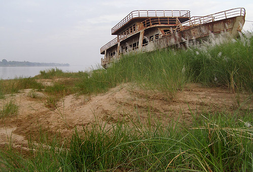
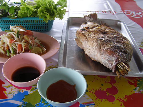
Back in town, things were quiet and the muddy water glided by peacefully. A pedestrian riverwalk stretches from one end of town to the other, with lots of restaurants open to the water view. Most of them serve several types of Mekong river fish. An excellent meal, whether fried, grilled or steamed.
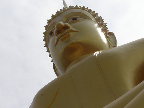
In the center of town, there is an enormous gold Buddha gazing out over the river from his perch on the rooftop of Wat Pho Chai temple.
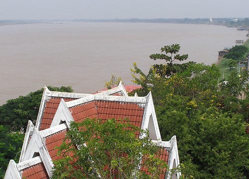
From the platform on top of the temple you can get a great overview of the city with the water stretching east and west. The town is bordered to the south by swamplands and to the north is the foreign land of Laos. Farther east (downstream) in this photo you can see a white stupa of the temple at the far end of town.
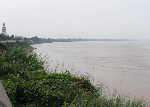
The white stupa or chedi is a recent recreation of Phra That Nong Khai, a temple which stood on the bank near here, until the flood of 1849 undermined its foundations and washed it whole into the river. Strangely enough, the ancient temple is still there under the water, in some sort of complete state. As the floodwaters drop during the dry season a crooked corner of the temple reappears and worshippers mark it with sacred banners. Gradually it is moving downstream and away from the bank where it entered the river.
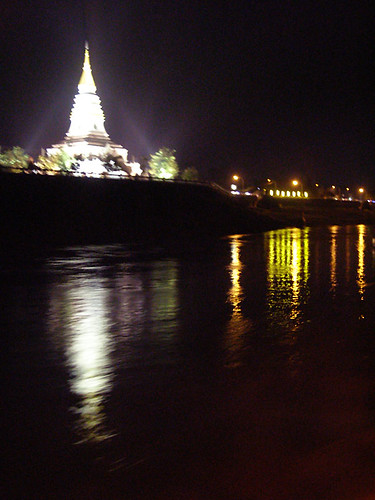
In the evening I boarded the Nagarina for the night cruise. The fall sun set just before we cast off into a brief twilight before all was dark out on the river. The settlements on the Laos shore showed only a handful of streetlights but the little skyline of Nong Khai was beautiful with its temples spotlighted.
Enjoying dinner, a drink and a view, with the persistent diesel drone of the boat engine, suddenly there was a thump and all motion stopped. "Did we run aground?" I wondered to one of the stewards. The pilot cut the engines for a moment and then we were underway again. But soon we struck something yet again, and then a few minutes later a third time. I was worried that we had knocked a few more bricks off the top of the sunken chedi somewhere under the dark water, but the steward assured me that the pilot knew the river well and always stuck to the clear channel. In any case we made it back to the dock without any other groundings.
But the Mekong is the home of the legendary naga, a fantastic serpent known from the Mahabarata and other Hindu tales. This area of the river is thought by some to lie directly above Muang Badan, a subterranean city of the nagas. I had arrived in Nong Khai just two weeks too late to see one of the most intriguing natural wonders of the region: the mysterious ghost lights known as Naga Fireballs. These glowing pink orbs pop up from deep in the river and fly into the air on the night of the full moon in the eleventh month at the end of the rainy season.
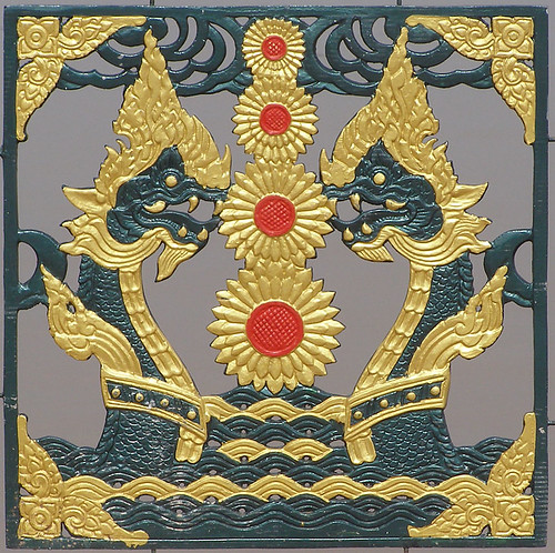
The fireballs are supposed to be released by nagas hiding under the currents and only appear at certain locations on the river not far from Nong Khai after dark. Unlike the Marfa ghost lights, the fireballs don't seem so easy to explain for a casual skeptic like me. I had read some theories that the pink glows might be caused by spontaneous releases of methane gas bubbles from rotting vegetation at the bottom of the river, which seems unlikely due to the constantly moving currents and sandy riverbottom in this area. Or, it is possible that the displays might be faked by locals interested in attracting tourism, but apparently there are records of the lights being seen for hundreds of years.
It seemed odd to me that the fireballs would only appear on one particular night of the year if they are due to ongoing natural processes, so I was hoping there might be a chance of seeing some activity two weeks after the festival was over. But the fireballs are usually only spotted at specific locations far around the river bend from town and I wasn't in much of a position to go seek them out on my own. Only now that I am home and researching the phenomenon more do I read that the lights are indeed occasionally seen at other times of year, and rising from ponds and small canals as well as from the river, on both sides of the border.
Down at the floating bar, the bartender told me that the Nagarina had taken a whole crowd of travelers out to look for the fireballs on the night of the full moon two weeks before. The location was several hours out of town and after a long journey there and back again they saw nothing. But a Peace Corps volunteer assured me that the fireballs were real, that she had been fortunate enough to see them both of the years she had been stationed here. They were beautiful deep pink bubbles, she said, that rose up without warning from the dark water, shooting quickly high up into the night without a sound.
